Cívis GIStory
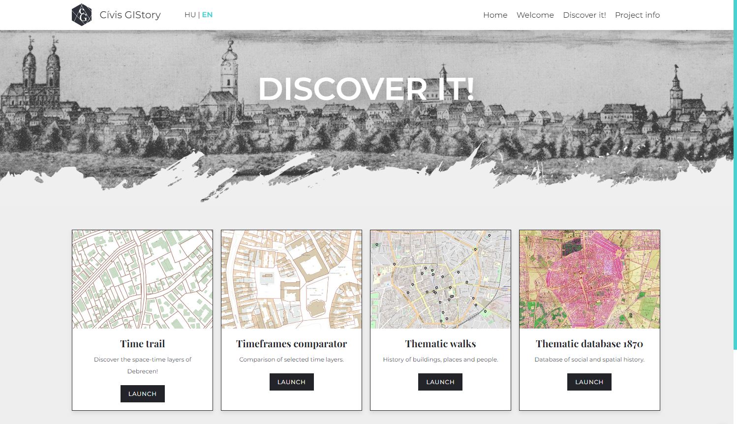
Discover it! menu
In our Cívis GIStory project, we have developed a selection of map data from a century and a half and linking them together to create a platform that enables to reconstruct and present, in a staircase of selected timelines, the history of the city of Civis leading to the present evolutionary processes, its superimposed structures and iconic patterns, anchored in space.
In the Cívis GIStory tab, you can select one of three approaches from the Discover it! menu: Time trail, Thematic walks and Timeframes comparator. These open the system with different options. The OpenStreatMap map is displayed when the map system is started.

Discover it! menu
- When entering the 'Time trail', you can switch between the layers to see maps of different
eras.
- By selecting the 'Timeframes comparator', you can select 1-1 map by clicking on the year in
the layers
and examine the overlapping maps using the slider.
- In the 'Thematic walks' menu, you can select each category or subcategory within a category
by selecting a category or subcategory, the icons for the corresponding locations will enlarge
and turn blue. When clearly
a location, the map zooms in and a description of the location is displayed on the right.
WARNING! The map inscriptions shown in the project are taken from the original maps! Retrieved from default map of 2020, the land sections are 1:14000, the buildings and inscriptions are are shown at a scale of 1:3500. The maps of the different eras in the outer areas have different The maps of the different eras overlap to a certain extent in the outlying areas, so it is a given that not all maps of the same era are associated with the same object. If the GIStory layer is enabled, the icons of the mapped sites are displayed, which can be accessed by clicking on the mouse pointer over them, the name of the location will appear in a bubble.
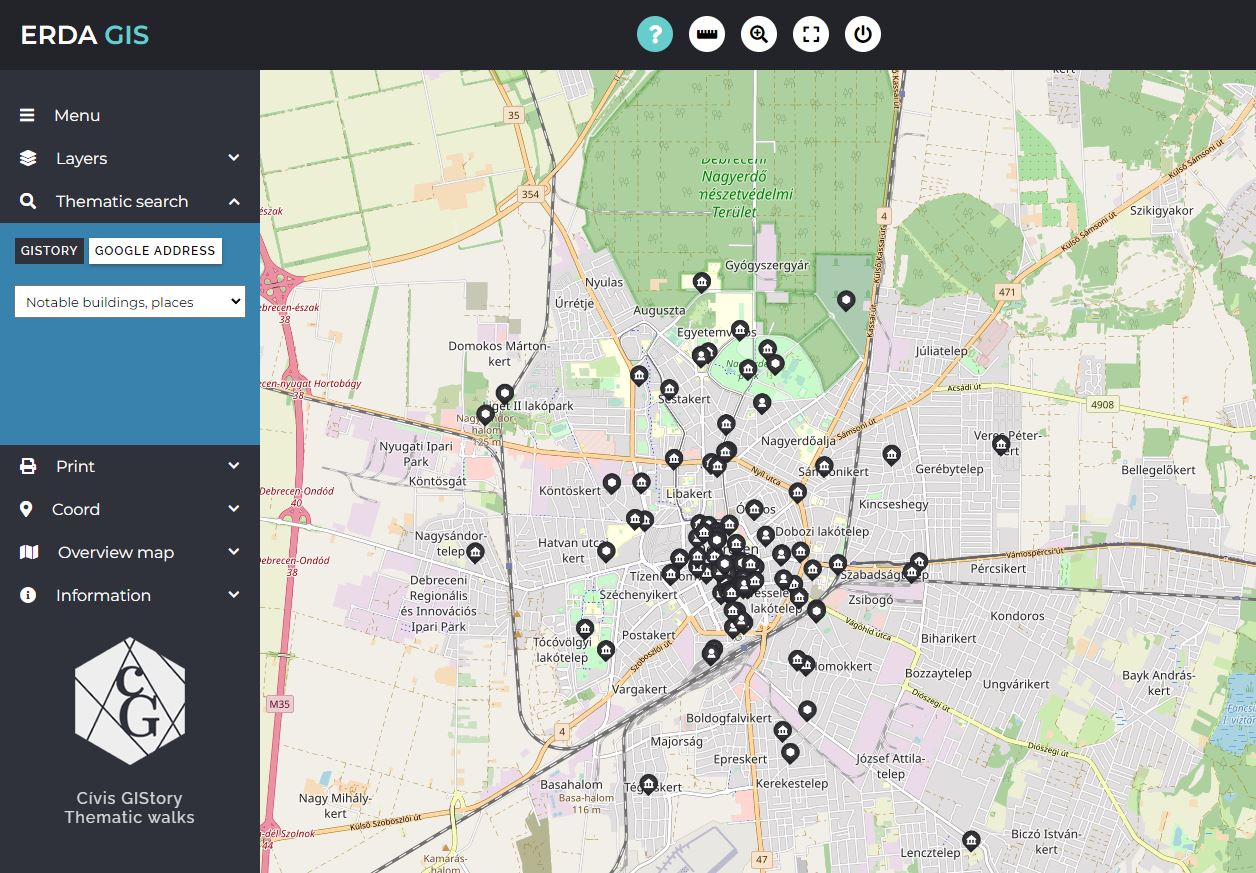
Click on the different years in the lower part of the description of the selected object to display the the corresponding map appears under the blue icon. About Magda Szabó sites can also be selected by category at the top of the description and by clicking on the blue arrow on the side of the text to switch between sites of the same category.
On startup, the menu with the map and a feature bar will become active.
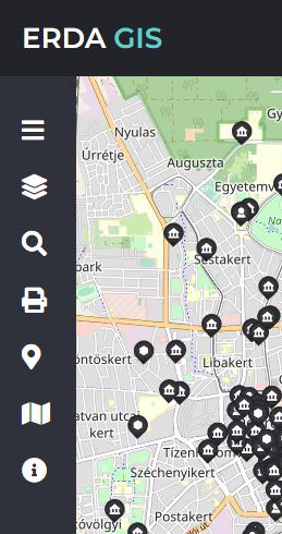
The function buttons are located at the top of the screen. These are query, distance and area measurement, zoom to area, full screen and back.

The information displayed in the window next to the function buttons helps the user to find their way around the interface, or display the distances or coordinates requested.
Screenshots with different settings:
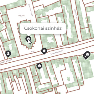
The object name appears in a bubble
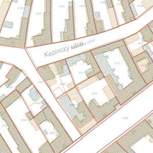
screen detail
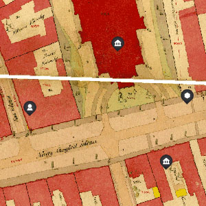
screen detail
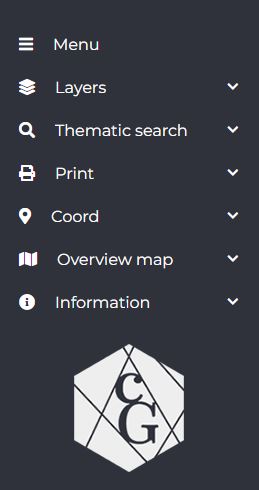
The Layers and Thematic search menu. When searching for a Google address, typing "Debrecen" as the place name does not is not necessary.

layers menu

thematic search menu
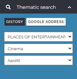
thematic search menu
The COORDINATE menu allows you to navigate accurately by entering GPS or EOV coordinates in the on the map.
The PRINT menu allows you to set detailed printing conditions.
The OVERVIEW MAP helps you find your way around the entire city map.
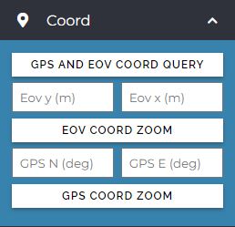
COORDINATE menu
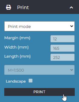
PRINT menu

OVERVIEW MAP menu
If you have any questions about using the platform, you can find our contact details in the information menu.