Instruction manual
The project is supported by the "Őrváros Debrecen Szerepe Magyarország XX. századi Történelmében" Public Foundation was commissioned by the project. The database, as well as the data provided in the course of this project, material and documents are the property of the client. This description is for general use only. elements of the user interface.
A video demonstrating the use of the system can be found here:
Tutorial video on how to use the map
system.
To use the system, pop-up windows must be enabled in the browser.
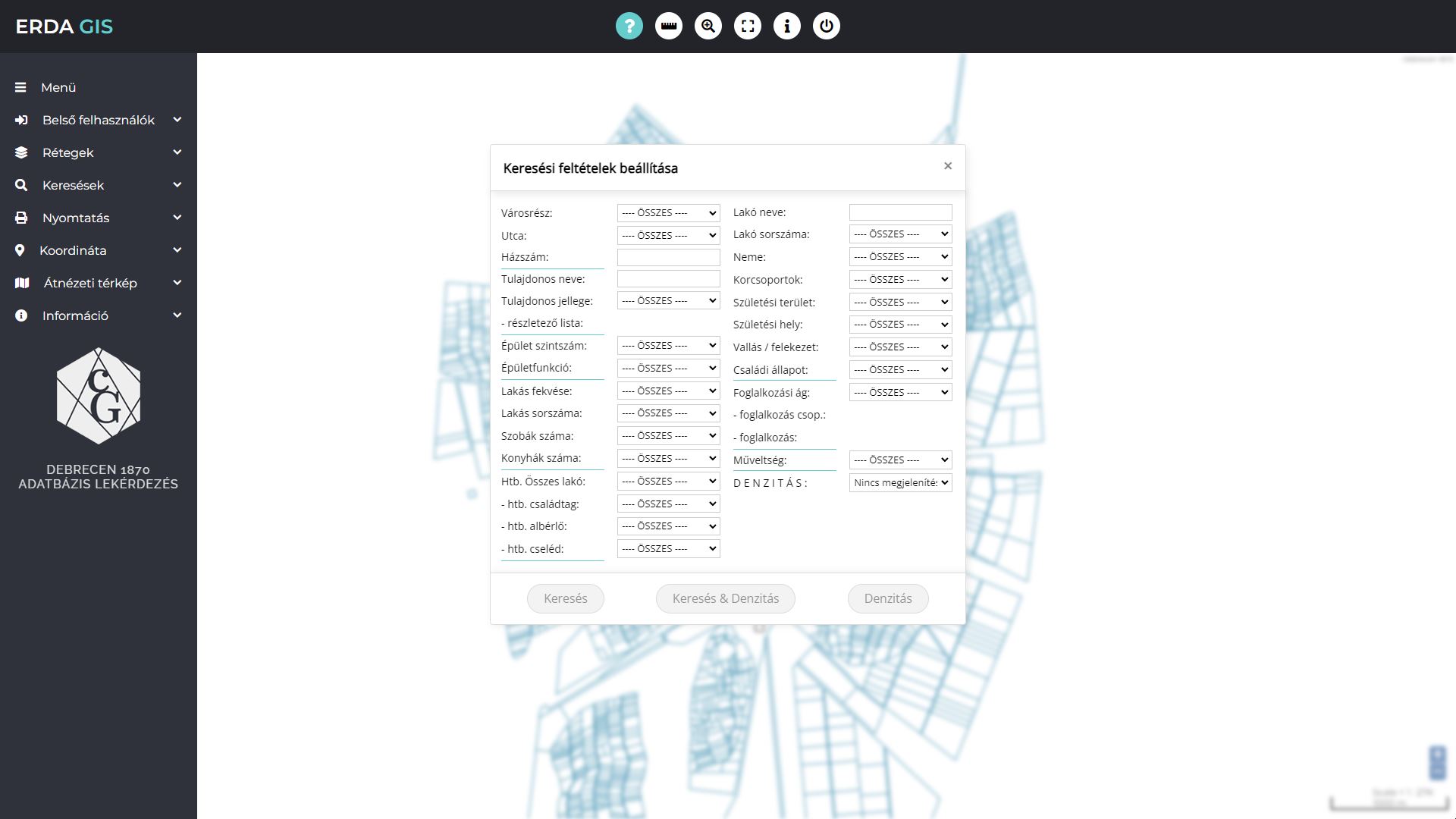
This image shows the setup panel for custom and pre-generated queries of the map database.

The display of signs and buildings is automatically controlled depending on the screen scale. Some typical images are shown in use:
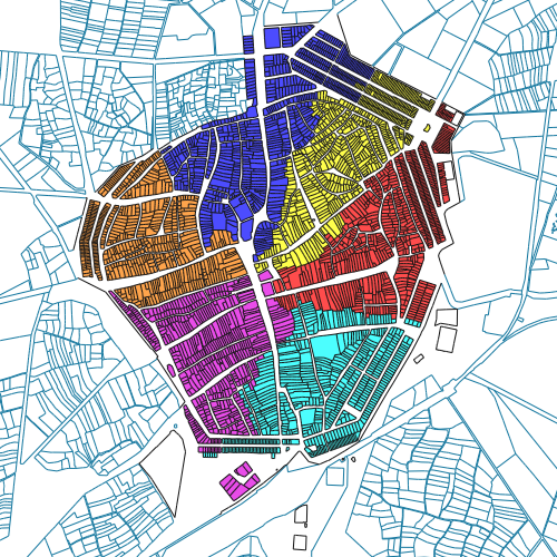
Map section

Map section
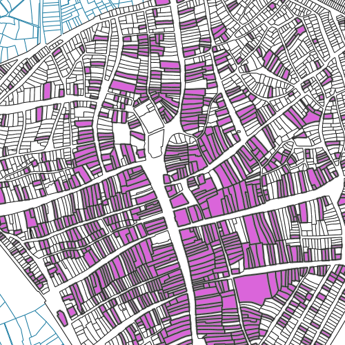
Map section
The function buttons are located at the top of the screen. These are query, distance and area measurement, zoom to area, full screen and back.
The information displayed in the window next to the function buttons helps the user to find their way around the interface, or display the distances or coordinates requested.

TOP FUNCTION BUTTONS
The menu items on the left are:
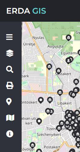
Menu bar closed
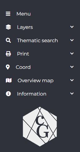
Menu bar open
LOG IN, to be used only by system maintenance staff.
In the LAYERS menu, you can also activate map layers, such as Google Maps or Open Street Map, if required for your research.
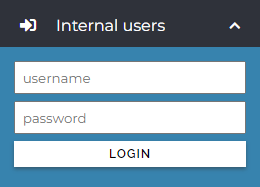
Log in
only for internal users

LAYERS
In the SEARCH menu you have the option to search the map by Google address. The 1870 search in the question mark icon will return the search options panel shown in the first image.

Search

INFORMATION
The COORDINATE menu allows you to navigate accurately by entering GPS or EOV coordinates in the on the map.
The PRINT menu allows you to set detailed printing conditions.
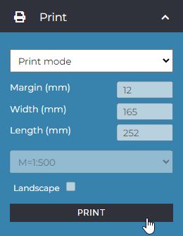
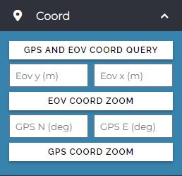
COORDINATE

OVERVIEW MAP
If you have any questions about using the platform, you can find our contact details in the information menu.